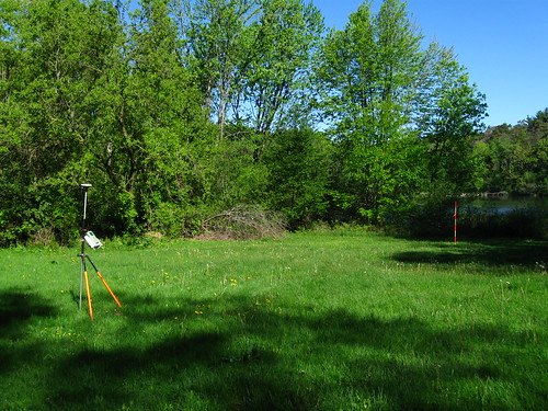
Getting the coordinates from the GPS satellites. A job for out-in-the open.
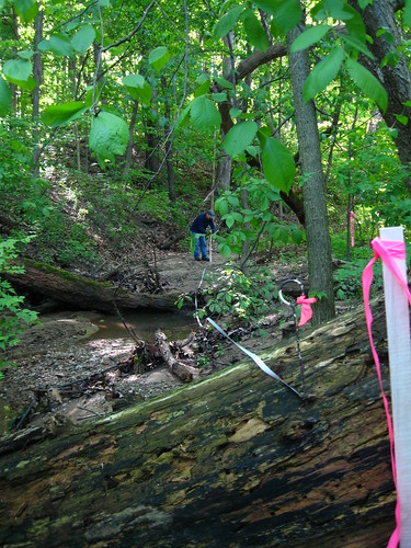
Staking a path upstream in order to measure out 200 feet upstream from the proposed location of the bridge over Honey Ck.
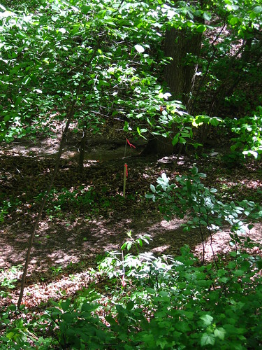
Stakes marking the line of the eventual cross-section.
No comments:
Post a Comment